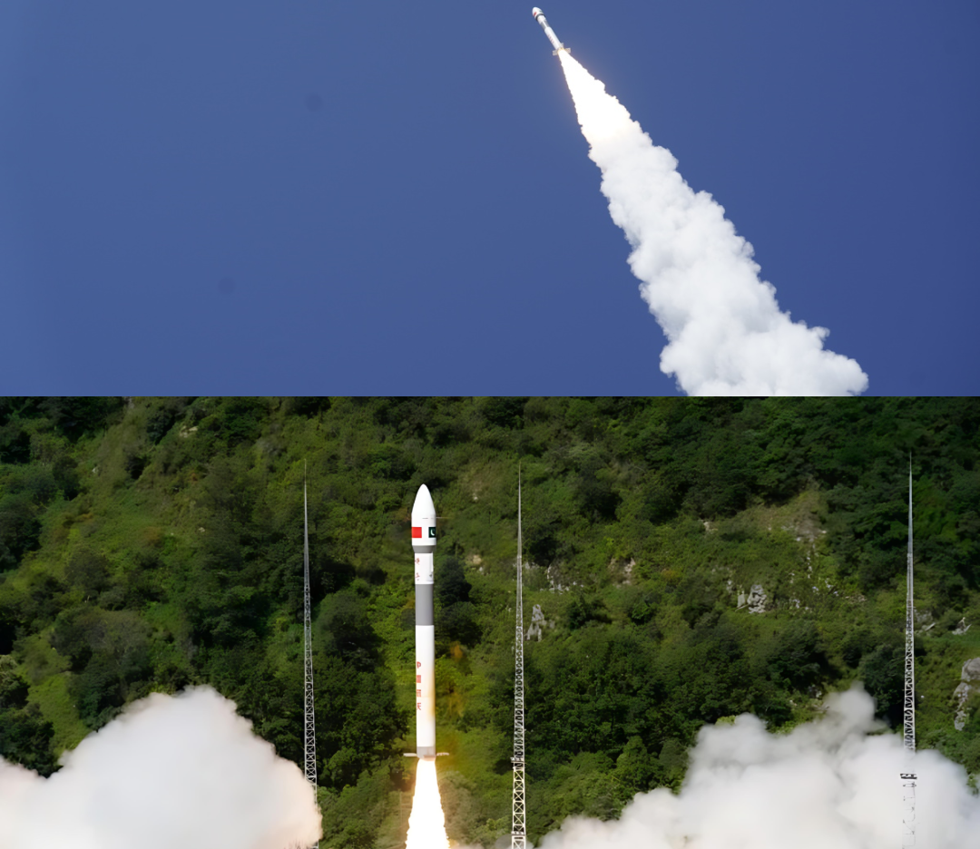
Islamabad – Pakistan successfully sent a remote sensing satellite into orbit using the Xichang Satellite Launch Centre in China on July 31st. The satellite has successfully established a stable communication with ground stations, and it is now in the phase of its official operation, marking a new stage in the space-based development of the country.
Help in Urban Development
The satellite is meant to support the scientific and technological levels of Pakistan in terms of supplying important data in the development of the country. It is expected that the pictures it will take will prove to be central in some of the most vital industries.
The high-resolution data will be useful in mapping and monitoring the development of cities and also enable the authorities to make informed decisions on allocation of resources and infrastructural development projects, in urban planning and infrastructural development.
This is especially applicable in significant projects such as the China-Pakistan Economic Corridor (CPEC) in which proper geospatial information is necessary in the design and implementation of transport systems and other infrastructure projects.
Facilitates Disaster Prevention
In addition to building cities, the satellite capabilities can be a tremendous contribution to the disaster prevention and rapid response efforts of Pakistan. Early warnings of natural disasters like floods, earthquakes, and landslides will be possible through the system, giving the authorities a margin to act and prevent possible destruction.
The satellite will also help in the recovery and rehabilitation work after the disaster occurs since it will be able to provide a real-time monitoring of the affected regions, which will make the work more coordinated and effective. This is a pivotal development for a country that tends to be vulnerable to the effects of adverse weather conditions and earthquakes.
Environmental conservation
The new satellite will also transform the way natural resources are managed and the ecological conservation. It will give constant surveillance of major environmental indicators, such as glaciers and forests.
The current information on the glacier melt would be crucial when it comes to managing the water resources and long-term effects of climate change on the water resources of the country. Its capacity to track deforestation will assist the government in environmental protection endeavours.
Agricultural Assistance
The imaging of the satellite will also aid farm productivity by accurately tracking crop health, soil status, and irrigation requirements resulting in a more efficient farming practice and high farm yields.
The Pakistan Space and Upper Atmosphere Research Commission (SUPARCO) celebrated the launch and operationalization of the satellite as a milestone of the national space program.
The project highlights the strategic cooperation between the country and China that offered launch facilities and technical assistance.
The data of the satellite will not only facilitate domestic development but also increase Pakistan capability to be part of international scientific and environmental research. The introduction of remote sensing capabilities to Pakistan has opened a new era of national sovereignty in space-based data collection.